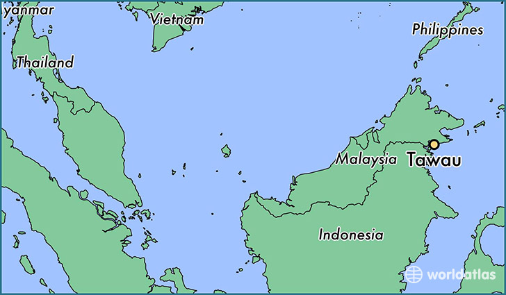
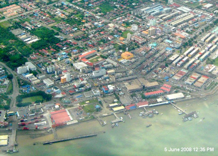
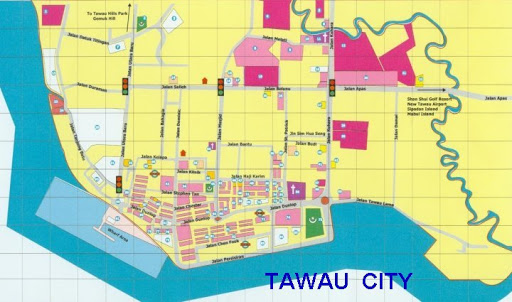
[1] Port Location & Layout
* Google Map Search : https://www.google.com.my/maps/search/tawau+port/@4.2439201,117.8770402,565m/data=!3m1!1e3?hl=ko&authuser=0
* Sandakan Port Webpages : https://www.spsb.com.my/?q=ports/tawau-port-0
* Port Location Lattitude : 4 - 13.3' N, Longitude : 118 - 00.0' E
The Port of Tawau shall comprise of the waters of Cowie Bay and Wallace Bay and rivers entering same contained within the following limits: "A line from 4° 13.3′ N 118° 00.0′ E to the National boundary mark on the eastern shore of Sebatik Island, thence to the National boundary mark on the western shore of the said island, thence in a 270° (T) direction to the shore at Burs Point thence in a 311° (T) direction to 4° 20.0′ N 117° 25.9′ E, thence in a 070° (T) direction to 4° 25.0′ N 117° 40.0′ E, thence in a 120° (T) direction to the point of commencement".
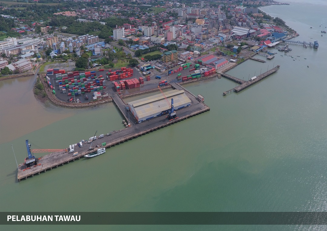
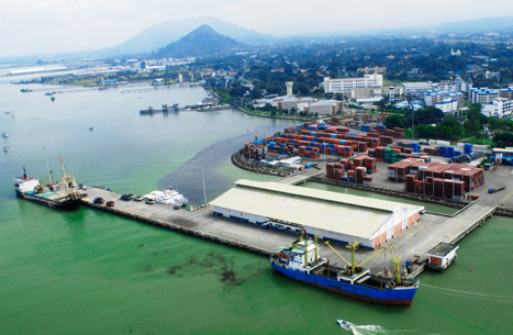
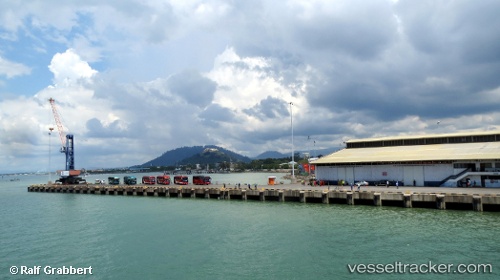
* Berh & Facilities
#1, #2 (Oil Jetty) (LOA) 76.0 m (Depth) 9.0 m (Disp) 30,000 mt
#3, #4, #5 (Outer) 302.0 11.0 16,000
#6, #7 (Inner) 170.0 5.5 16,000
#5 - Pririty for container ship
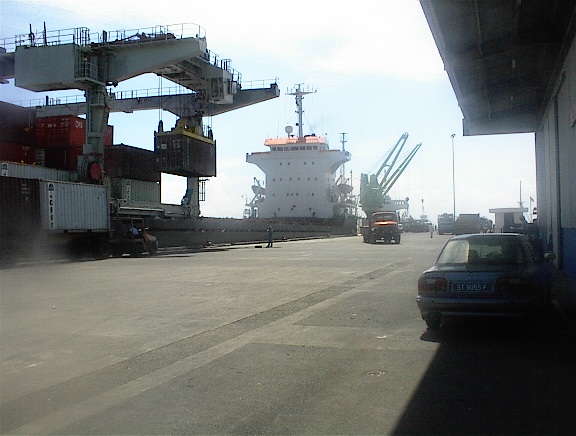
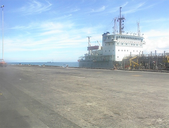
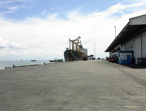
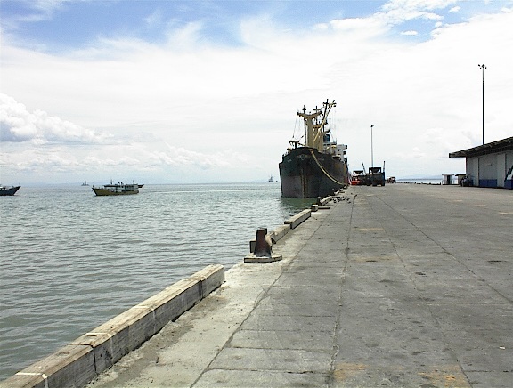
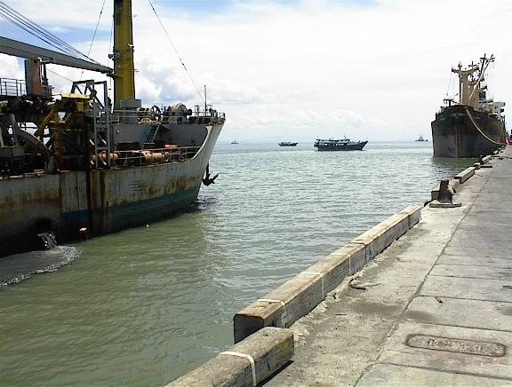
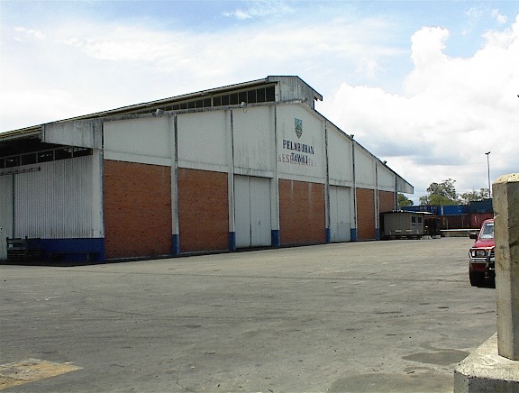
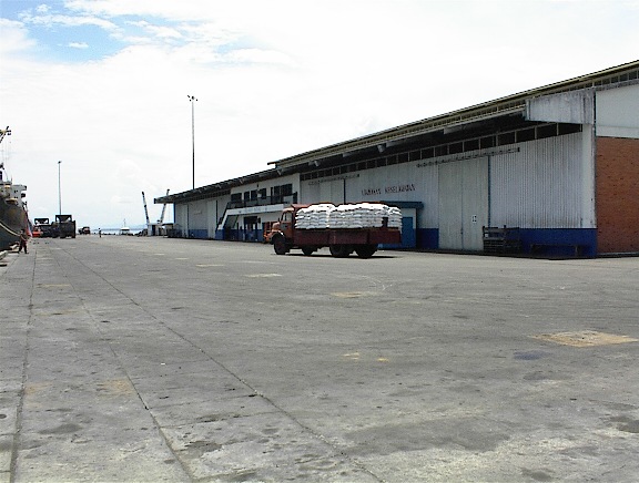
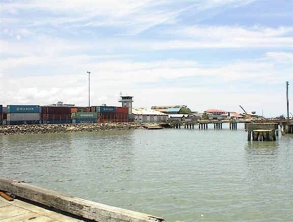
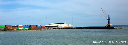
[2] Port Images General

For any further information
OLBAN TRADING (M) SDN. BHD.
(EX. OK MARINE SERVICES SDN. BHD.)
Add : 1-2-1, Jalan Setia Prima (M) U13/M, Seksien U13, Setia Alam, Shah Alam 40170 Selangor, Malaysia
(TEL) +60-12-3723446 +82-10-37593446
(Email) olban.td@gmail.com myokmarine@gmail.com
(Kakao Talk) samuel40
(Rep) Mr SS KIM (Samuel Kim)
*