
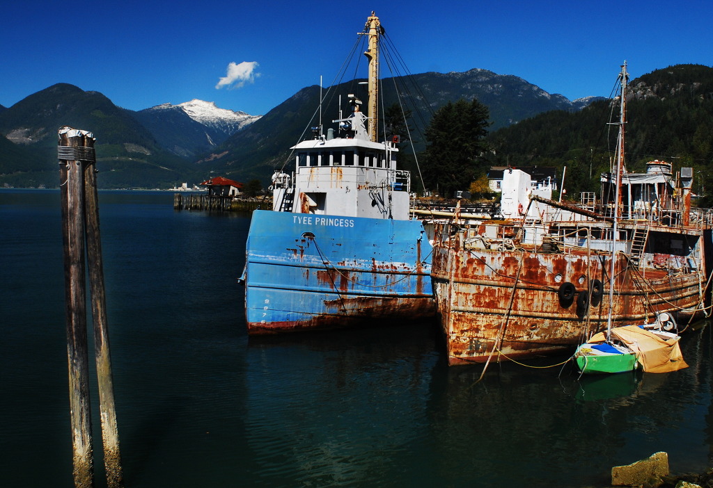
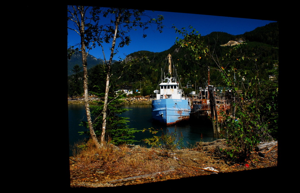
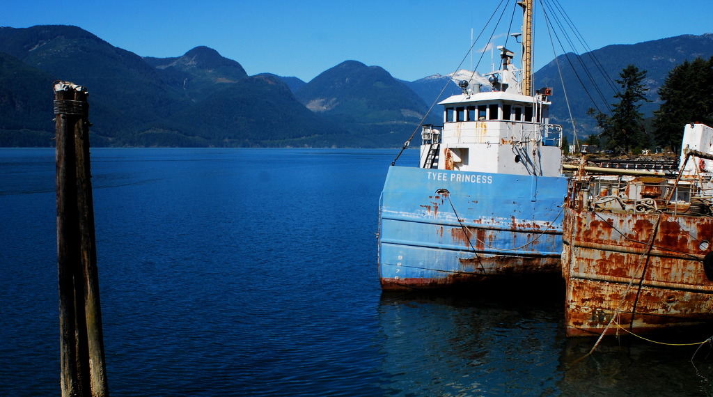
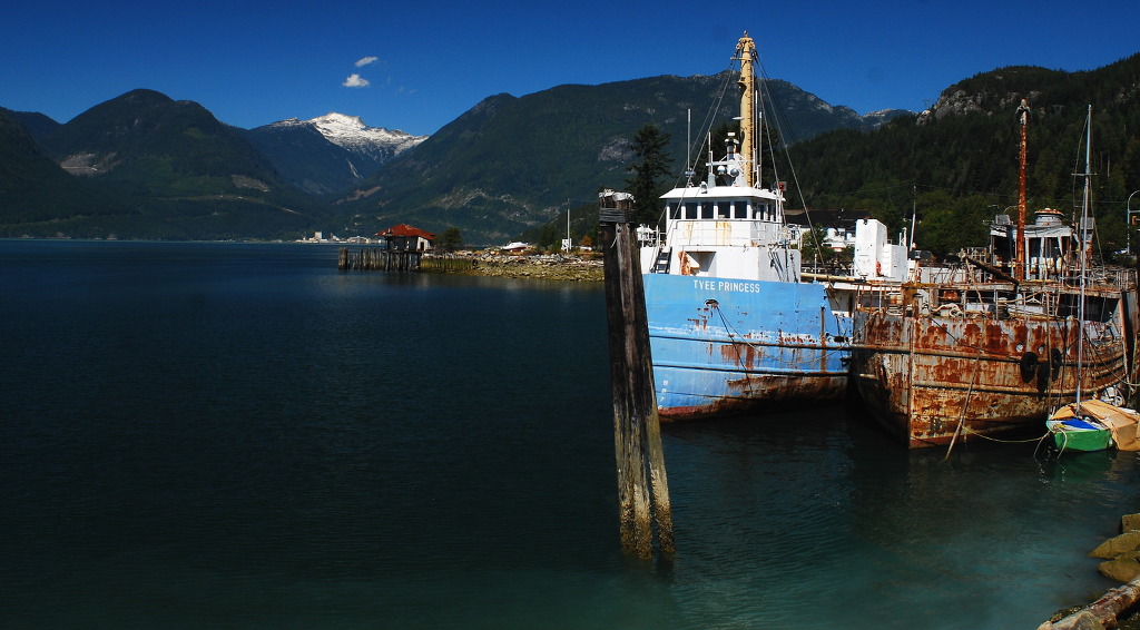
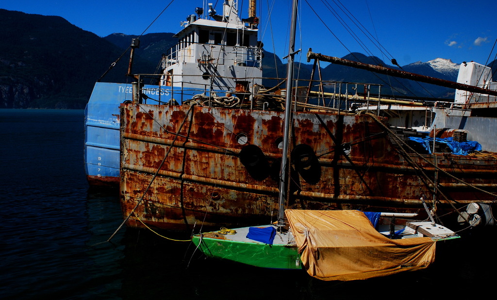
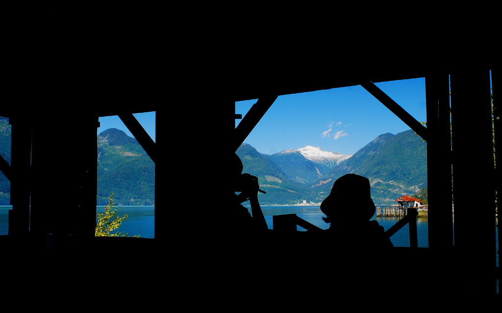
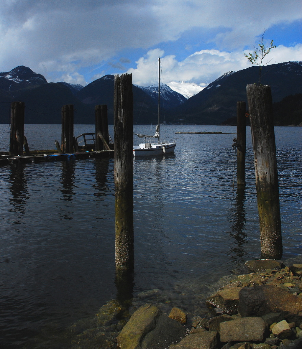
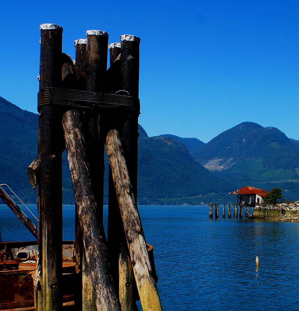
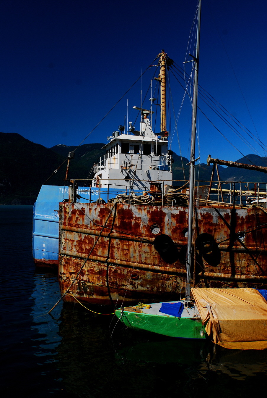
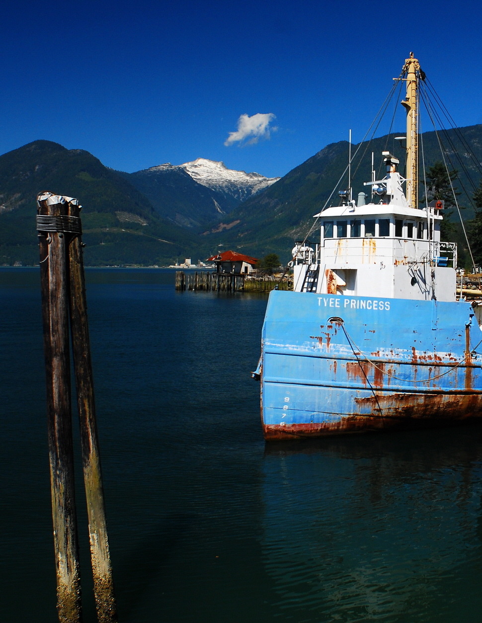
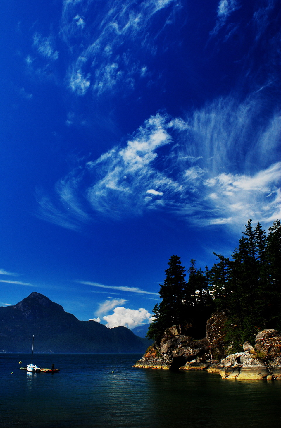
■ Britannia Beach
http://cafe.daum.net/mundypark1/DPkZ/757
■ Living Information
■
■ 사진/산행/寫眞/여행/Hiking
■ 삼라만상(森羅萬象)은 곧 사진(寫眞)의 소재다
사진은 무엇으로 어떻게 찍든 간에 있는 대로 보고 보이는 대로 찍으면 된다.
이것이야말로 진정한 빛의 예술이자 진실한 역사의 기록인 것이다
우울증, 전세계 3억2천만명 10년새 18% 증가 - 송고시간 | 2017/02/24 02:19
(제네바=연합뉴스) 이광철 특파원 = 전 세계 인구 4%에 해당하는 3억2천200만명이 우울증을 앓고 있으며 노인, 여성, 청소년 등이 특히 취약한 것으로 조사됐다고 세계보건기구(WHO)가 23일(현지시간) 밝혔다.
WHO는 2015년 기준으로 집계한 우울증 인구가 2005년보다 18.4% 증가했다며 인구 증가뿐 아니라 기대 수명이 늘어난 것도 원인으로 작용했다고 설명했다.
우울증으로 인한 각종 부작용은 삶의 후반기에 막대한 영향을 미치고 있다.
최근 조사결과 캐나다인들 병원 방문 이유 1위가 우울증이라고 합니다.
사진촬영이나 걷기는 우울증 예방이나 치료에도 상당한 효과가 있다고 합니다.
사진을 좋아하거나 관심 있는 많은 분들의 동참을 기대하며 사진 인구의 저변확대를 소망합니다.
☞ [사진 찍기, 여행 즐거움을 향상 시킬까?] http://cafe.daum.net/kvwc/dvOn/1
☞ [이건세 교수의 사진 잘 찍는 법 50] http://cafe.daum.net/mundypark1/CsVj/130
☞ [셀카 찍는다고 자존심이 회복돼?] https://storyfunding.daum.net/episode/4766
☞ [멋진 노을 사진 찍는 법] http://cafe.daum.net/kvwc/dvOn/2
☞ [할머니의 카메라] https://storyfunding.daum.net/episode/4752
■ 生活 사진
생활 寫眞은 일상의 사소한 발견입니다
삼라만상(森羅萬象)은 곧 사진의 훌륭한 소재라고 생각합니다.
늘 가지고 다니는 휴대전화나 손안에 쏙 들어가는 똑따기 사진기만으로도 누구나 크게 공감하고 많이 동감하는 이야기를 만들 수가 있을 것이라 믿습니다.
더없는 사랑과 꾸밈없는 정성으로 人時空을 담아내어 소중한 추억으로 오래토록 간직하게 되기를 희망합니다.
'사진은 빛의 예술이자 역사의 기록이다'
생활사진에 대하여 이렇게 거창한 말까지 앞세울 필요는 전혀 없을 것 같습니다.
진실과 진심으로 있는 대로 보고 진정과 최선을 다하여 보이는 대로 담아내면 그것이 곧 예술이자 역사가 될 것입니다
보다 많은 사진인구의 저변 확대를 기대합니다.
가족의 건강과 가정의 행복을 축원합니다.
오로지 건강하세요.
늘 고맙습니다.
20121212(陰1029) WED
Mundy Sung
■ [2017-01] 1월 2일(MON) : Elfin Lakes(Squamish, BC) 새해맞이 시산제 산행
■ Photo & Hiking 일정 확인 및 모임 안내
[사진 촬영 및 산행]을 일기(日氣)에 따라 수시로 실시합니다.
[사진, 여행, 산행]에 관심이 있는 많은 분들의 동참을 기대합니다.
☞ 일정과 장소는 상황에 따라 변동 될 수도 있습니다.
☞ 행사에 합류하면 공동안전(共同安全)을 위하여 개인행동을 일절 금합니다.
http://cafe.daum.net/kvwc/E3Wn/3
http://blog.daum.net/mundy-park/4370
http://cafe.daum.net/mundypark1/F2lJ/1
☞ 주관 : [MUNDY PARK CAFE]
☞ 안내 : 604-619-8368 德山
■ 산행 안전
☞ [산행 안전 수칙]
http://cafe.daum.net/mundypark1/CP3B/41
☞ [겨울철 눈 산행시 주의 할 점]
http://cafe.daum.net/mundypark1/CP3B/39
☞ [동절기 안전 산행 필수품]
http://cafe.daum.net/mundypark1/CP3B/40
| This article possibly contains original research. |
| A major contributor to this article appears to have a close connection with its subject. (June 2015) (Learn how and when to remove this template message) |

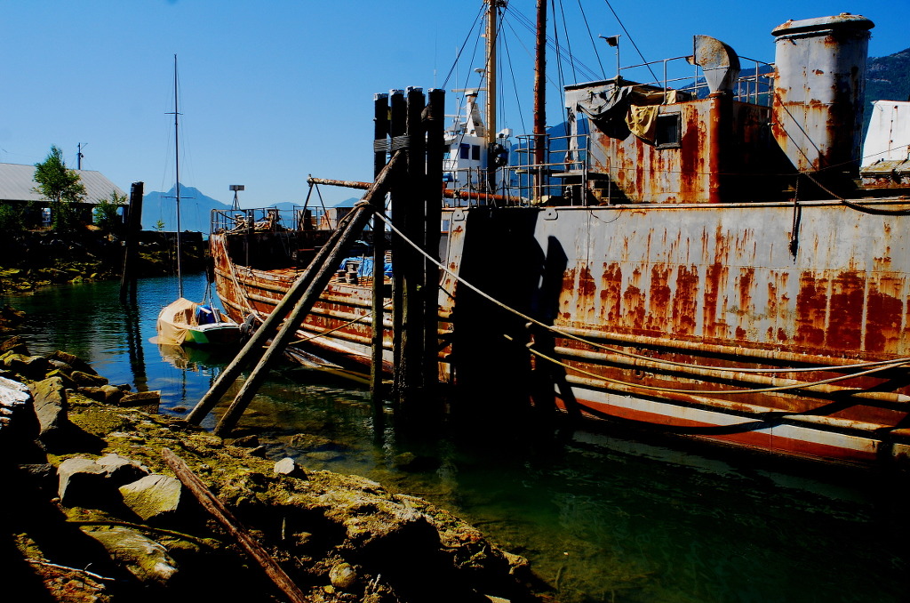
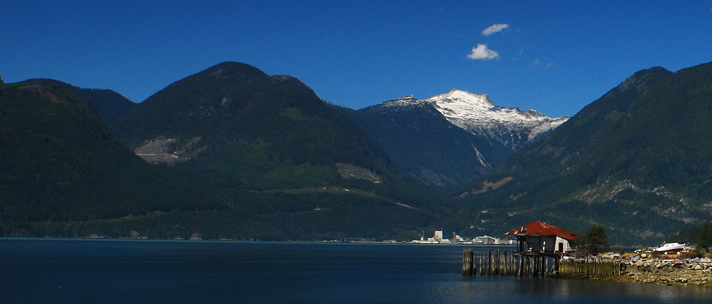
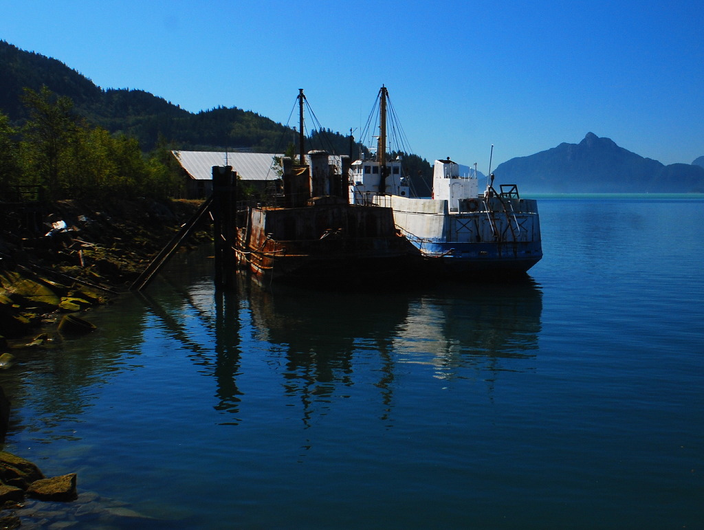
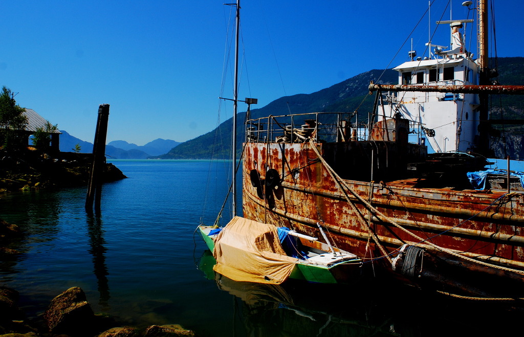
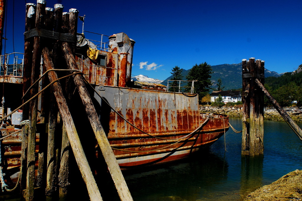
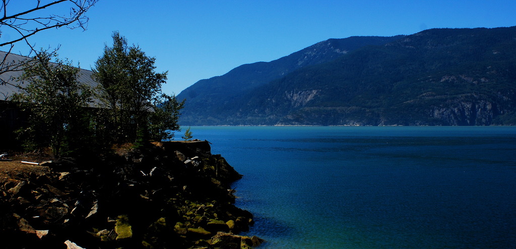
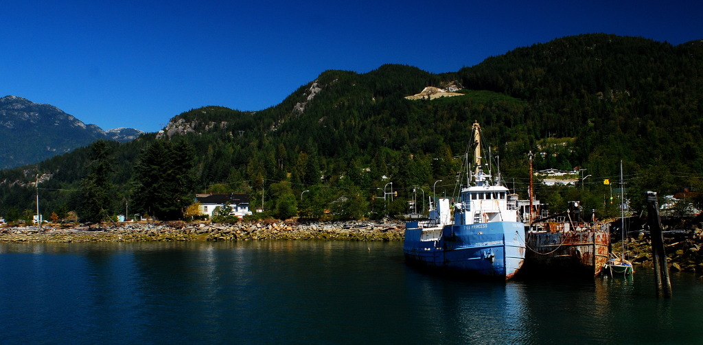
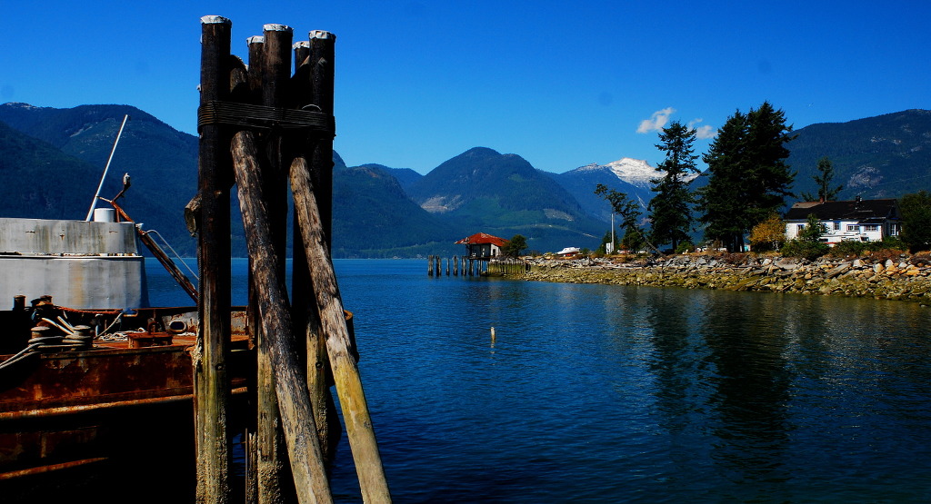
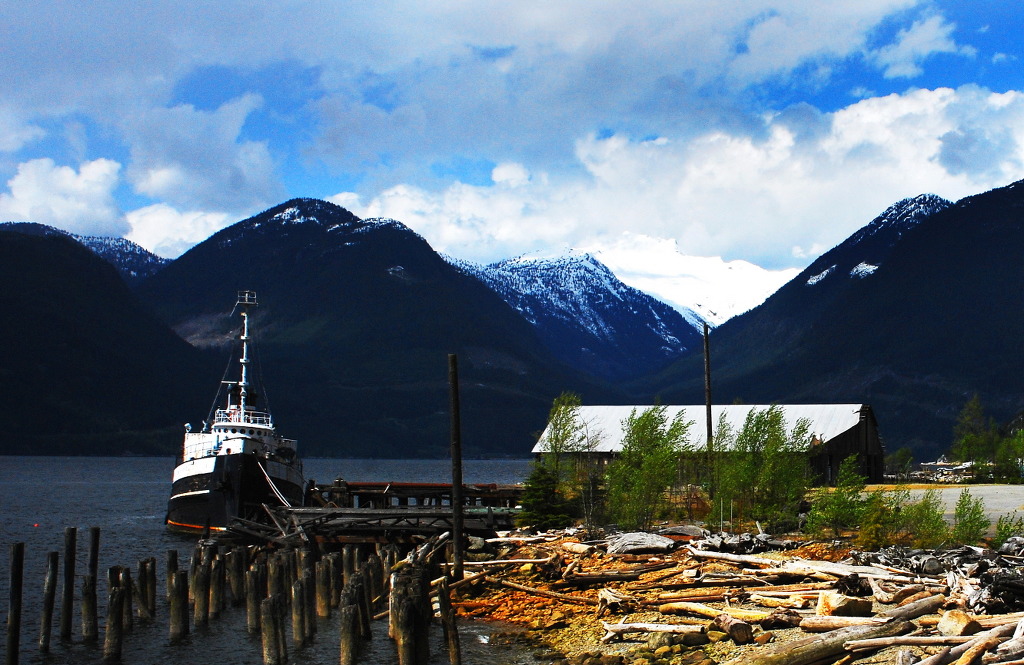
Britannia Beach is a small unincorporated community in the Squamish-Lillooet Regional District located approximately 55 kilometers north of Vancouver, British Columbia on the Sea-to-Sky Highway on Howe Sound. It has a population of about 300. It includes the nearby Britannia Creek, a small to mid-sized stream that flows into Howe Sound that was historically one of North America's most polluted waterways.
The community first developed between 1900 and 1904 as the residential area for the staff of the Britannia Mining and Smelting Company. The residential areas and the mining operation were physically interrelated, resulting in coincidental mining and community disasters through its history.
Today, the town is host to the Britannia Mine Museum, formerly known as the British Columbia Museum of Mining, on the grounds of the old Britannia Mines. The mine's old Concentrator facilities, used to separate copper ore from its containing rock, are a National Historic Site of Canada.[1]
Contents
[hide]History[edit]
Britannia Beach took its name from the nearby Britannia Range of mountains, which form the east wall of the mountainous shore of Howe Sound south of Britannia Beach. About 1859 Royal Navy hydrographer Captain Richards of HMS Plumper named the range of mountains for HMS Britannia, the third of a series of vessels to bear that name. The Britannia was never in these waters.[2][3]

Copper mine (1900-1974)[edit]

A copper discovery on Britannia Mountain by Dr. A. A. Forbes in 1888 led to the development of the Britannia Mine. In 1899, a mining engineer named George Robinson was able to convince financial backers that the property had great potential. For several years, companies were formed, merged and dissolved in efforts to raise capital. The Britannia Mining and Smelting Company, a branch of the Howe Sound Company, finally commenced mining in the early 1900s, and owned the site for the next sixty years. The first ore was shipped to the Crofton Smelter on Vancouver Island in 1904, and the mine achieved full production in 1905.
A town had grown up around the mine and a Post Office opened on January 1, 1907 where it was named after the nearby mine.
In 1912 John Wedderburn Dunbar Moodie was authorized to upgrade the operation and increase production from the mine. Improvements in the mineral separation processes stimulated plans for a new mill (No. 2), which was completed in 1916 and was capable of producing 2000 tons of ore per day. The onset of World War I increased the demand for copper and the price rose sharply.
On March 21, 1915 an avalanche destroyed the Jane Camp. Sixty men, women and children were killed and it was a terrible blow to the tiny community.[4] Construction began immediately on a new, safer town at the 2,200-foot (670 m) level above the Britannia Beach site. This portion of the community became known as the "Town site" or "Mount Sheer".
.jpg)
In March 1921 during a brief period when the mine was shut down, mill No. 2 burnt to the ground.[5]
On October 28, 1921 after a full day of torrential rain, a massive flood destroyed much of that portion of the community and mine operations that existed on the lower beach area.[6] 50 of 110 homes were destroyed and thirty-seven men, women and children lost their lives. The flood was caused because the mining company had dammed up a portion of the Creek during the construction of a railway, and when this dam gave way the town below was flooded. Carleton Perkins Browning directed the reconstruction of this portion of the community and the new No. 3 mill, which stands today.
Being an isolated, close knit community which could only be accessed by boat, life in both of Britannia's towns was never dull. Facilities included libraries, club rooms, billiard rooms, swimming pools, tennis courts and even bowling. A thriving social calendar saw sporting events, theatrical productions, dances, movies and parties held throughout the year.
The mine boomed in the late 1920s and early 1930s, becoming the largest producer of copper in the British Commonwealth by 1929, under the management of the mine manager C.P. Browning.
In the 1940s there were talks to build an artist village in Britannia's hills, but that plan did not proceed.
Miners unionized in 1946 and suffered through their first strike. Low copper prices saw the Britannia Mine Company reduced to seven employees, and in 1959 it went into liquidation.
In 1963 the Anaconda Mining Company bought the property and production continued for the next eleven years. 300 employees managed to produce 60,000 tons of concentrate each year. Ferries services stopped around May 1965 after the highway and railway connections had been constructed. The connections made it easier to transport the copper, but high operating costs and taxes eventually forced the mine to close on November 1, 1974. The company did not attempt to clean up the mine and chemical wastes that it produced, since environmental protection laws had not yet been enacted and enforcement of the Fisheries Act was never applied. A newly elected labour government presented higher anticipated union costs and the ore vein had already been 'highgraded'. With the closure of the mine, the economy of the town diminished rapidly, and the railway station shut down soon after.
Britannia Creek pollution[edit]

Prior to the reclamation work undertaken by the University of British Columbia and the Provincial Government, the clear and transparent water in Britannia Creek suggested a pristine environment, however the clear water was actually an indication that no living creatures could survive in it. The water could not be consumed by humans either.
Although mining at Britannia Creek stopped in 1974, runoff and rainwater that flow through the mine’s abandoned tunnels combine with oxygen and the high sulfide content of the waste rock to create a condition called acid rock drainage (ARD).[7][8] As a result of ARD, Britannia Creek became severely polluted. And, for close to a century prior to December, 2001, polluted run-off was being deposited directly into Howe Sound via Jane Creek and Britannia Creek; as much as 450 kilograms (close to one thousand pounds) of copper was entering Howe Sound daily.[9]

A two-kilometre (1.2 mi) strip of coastal waters along Britannia Beach was seriously polluted, affecting 4.5 million juvenile chum salmon from the Squamish Estuary. A federal fisheries report revealed that spring salmon held in cages off Britannia Creek died in less than 48 hours because of the toxic metals in the water, whereas fish held off Porteau Cove to the south, had a 100% survival rate.[10]
In the summer of 2001, the Province of British Columbia formally announced that a large-scale treatment plant would be built to neutralize the run-off coming from the old mine site. Although the treatment plant did not become fully operational until 2006, its construction marked a pivotal turning point for Howe Sound and the community of Britannia Beach. The plant, now operated by EPCOR Utilities, treats an average of 4.2 billion liters of run-off annually, removing an average of 226,000 kilograms of heavy metal contaminants.[11]

Engineers from the Centre for Environmental Research in Minerals, Metals, and Materials at The University of British Columbia also installed a concrete plug in the 2,200-foot (670 m) Level adit in December 2001 as the initial step in constructing a more substantial Millennium Plug. The idea for the installation was to create a laboratory to study ways to seal mine adits using bulk materials. At the same time the installation would immediately stop all pollution from the 2200 Level into Jane Creek, a tributary of Britannia Creek. Field monitoring done in 2003, using intertidal algae and mussels as ecological indicators, showed that the recovery of coastal biological communities was actually minimal.[12] However, recovery of Britannia Creek was significant and the amount of copper and zinc in the total discharge waters declined by about 20%.
As part of the reclamation work undertaken by the Provincial government, they are undertaking[when?] an environmental monitoring program the recovery of Britannia Creek and Howe Sound. Initial assessments show significant recovery, however, the Provincial government has not yet completed its comprehensive environmental impact assessment to confirm this conclusion.[13] Following completion of the Water Treatment Plant it was estimated that 90% of the pollution to Howe Sound had been stopped. Optimization of the groundwater management system by 2008, further increased the reduction to 98-99%.[13]
In 2011, pink salmon returned to Britannia Creek for the first time in over a century.[14][15][16][17] Other species that have returned to Howe Sound include Killer Whales, Pacific white-sided dolphins are now regularly seen near the creek’s outlet.
Curiosities[edit]
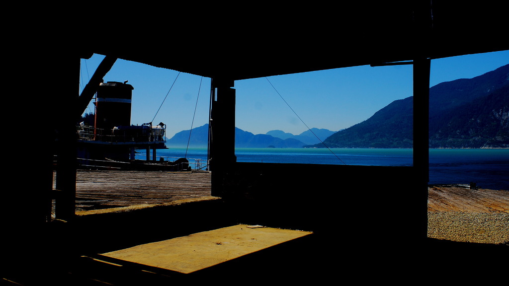
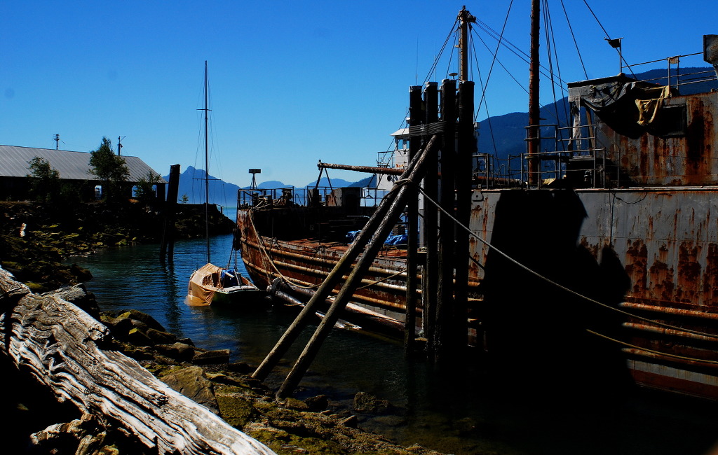
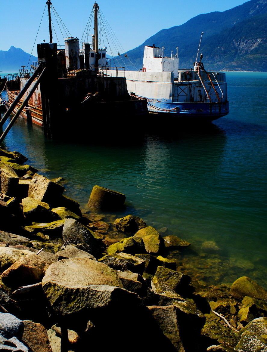
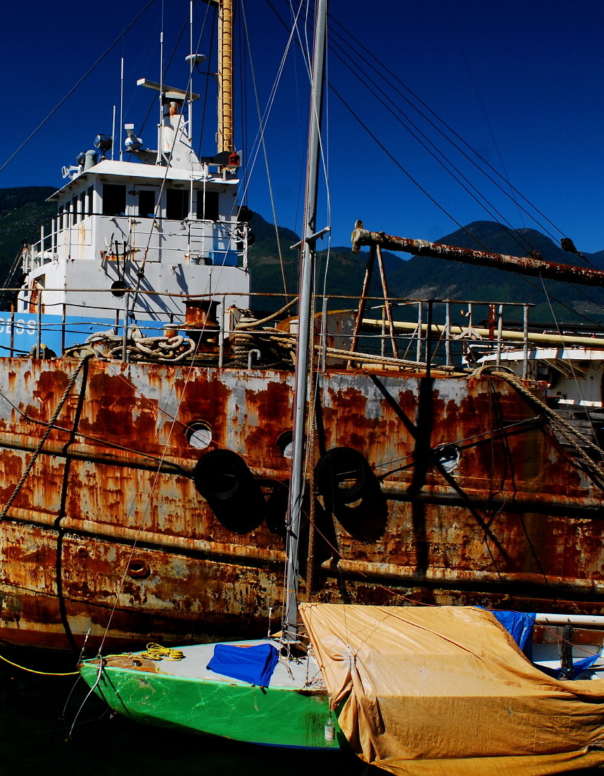
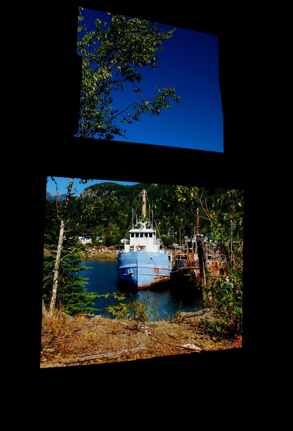
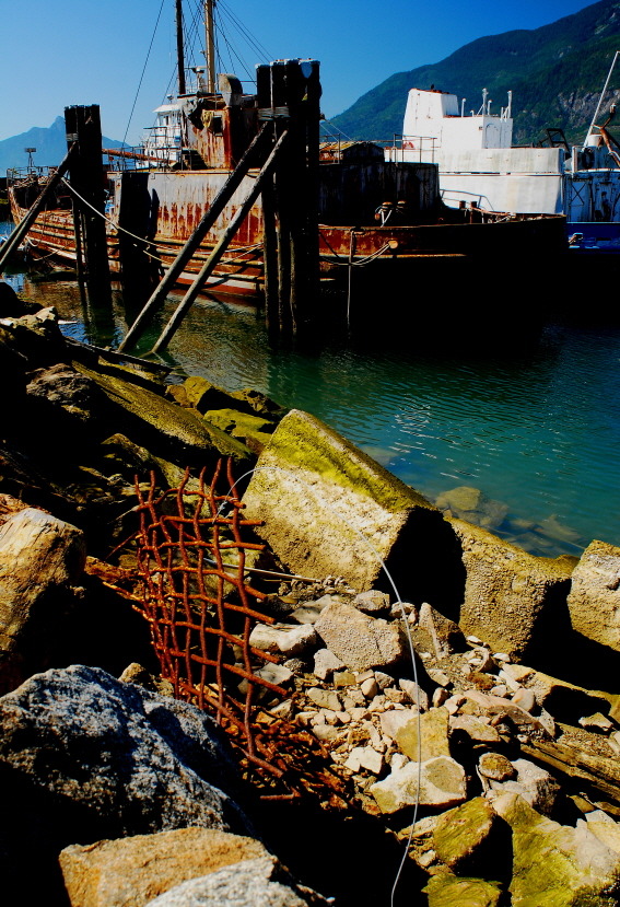
Britannia Beach has had a strange appeal to travellers over the years. It serves as a way stop on the road to Whistler and the eye-catching No. 3 Mill further draws you in. The random collection of large and small mining equipment, together with the decaying remains of the copper mining town, provide things of interest. The old post office is an art gallery and tea shop. The company store still provides goods and a few arts and crafts businesses have sprung up.
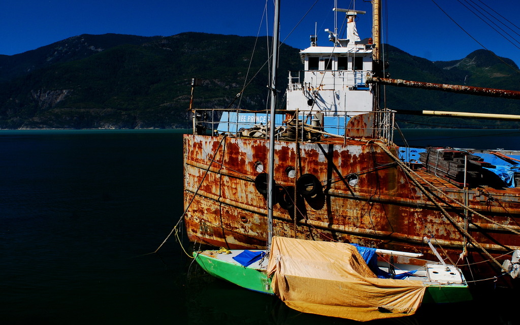
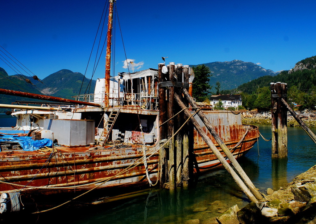
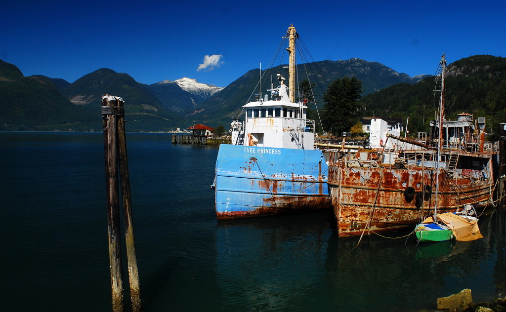
The seaward side always promoted industry. The Britannia wharf was used to load concentrate onto ships and later as a storage wharf. The coastal steamer SS St. George burned at the wharf. Other tugs and barges have been tied up there. The forlorn remains of the Union Steamship Wharf have fallen into Howe Sound. When it ran the tourist train Royal Hudson would steam past. A renowned eatery sat hidden in the toe of the hill. From this the movie industry would call in and occasionally make films.
The nearby Subdivision housing estate sits on the north bank of Jane Creek. A gravel pit worked for years to the south and loaded barges but has been closed for some forty years. These are known as the Matkin Lands and were held by a family. They have since been sold to Chinese investors and await re-development.
References[edit]
- Jump up ^ Britannia Mines Concentrator. Canadian Register of Historic Places. Retrieved 23 October 2011.
- Jump up ^ Akrigg, G.P.V.; Akrigg, Helen B. (1969), 1001 British Columbia Place Names (3rd, 1973 ed.), Vancouver: Discovery Press
- Jump up ^ Walbran, Captain John T. (1971), British Columbia Place Names, Their Origin and History (Facsimile reprint of 1909 ed.), Vancouver/Toronto: Douglas & McIntyre, ISBN 0-88894-143-9
- Jump up ^ "Archived copy". Archived from the original on 2011-08-09. Retrieved 2009-10-21.
- Jump up ^ "Archived copy". Archived from the original on 2012-02-28. Retrieved 2009-10-21.
- Jump up ^ "Archived copy". Archived from the original on 2012-02-28. Retrieved 2009-10-21.
- Jump up ^ Warden, Allan D. "The effects of acid mine drainage at Britannia Beach, B.C., on Fucus Gardneri and associated intertidal algae" (PDF). Circle Home. Retrieved May 5, 2015.
- Jump up ^ Ministry of Forests, Lands and Natural Resource Operations. "Britannia Mine Remediation Project". Britannia Mine. Retrieved May 4, 2015.
- Jump up ^ Ministry of Forests, Lands and Natural Resource Operations. "Britannia-Discharge-LTD-Summary-as of 2001January.xls" (PDF). Britannia Mine. Retrieved May 4, 2015.
- Jump up ^ Mills, Chris. "The former Britannia Mine , Mount Sheer/Britannia Beach, British Columbia". Technomine. Retrieved May 4, 2015.
- Jump up ^ "Britannia Mine, BC". EPCOR. Retrieved April 19, 2015.
- Jump up ^ Zis, T.; Ronningen, V.; Scrosati, R. (2004), Minor improvement for intertidal seaweeds and invertebrates after acid mine drainage diversion at Britannia Beach, Pacific Canada, Marine Pollution Bulletin, Vol. 48, pp. 1040–1047
- ^ Jump up to: a b "Archived copy". Archived from the original on 2005-09-05. Retrieved 2010-09-08.
- Jump up ^ "Britannia Creek in the pink — salmon, that is" (Online article). The Squamish Chief. September 14, 2011. Retrieved April 19, 2015.
- Jump up ^ McArthur, Aaron. "Pink salmon are back". Global News. Global TV. Retrieved April 19, 2015.
- Jump up ^ Global News. Global TV https://www.youtube.com/watch?v=TDeeqM7-5cI. Retrieved June 1, 2015. Missing or empty
|title=(help) - Jump up ^ Hume, Mark (September 18, 2011). "Fish return to Howe Sound, once a toxic dead zone". Globe and Mail. Retrieved May 4, 2015.
Bibliography[edit]
Province of BC Britannia Mine Remediation Project: www.britanniamine.ca
External links[edit]
| Wikimedia Commons has media related to Britannia Beach. |
| Wikivoyage has a travel guide for Lions Bay-Britannia Beach. |
http://www.vaisbord.com/britanniabeach/
- Portal To Britannia Beach
- Britannia Mine Museum
- Britannia Mine's Mill No. 3 National Historic Site
- Province of BC Britannia Mine Remediation Project
Other sources[edit]
Coordinates: 49°38′N 123°11′W / 49.633°N 123.183°W

| [show] |
|---|
http://cafe.daum.net/mundypark1/DPkZ/757
■ Living Information
■ Britannia Beach